Portola, CA • Lost Sierra

Beckwourth Peak Trail

A singletrack loop around Beckwourth Peak, right next door to High Camp

Distance

14.9 mi

Elevation Gain

1,843 ft

Surface

91% dirt

Difficulty

Mostly green, some blue

Ride Time

About 2.5 hrs (est.)

Best Months

Mar–Jun, Sept–Oct

Trail Overview

The Beckwourth Peak Trail is a non-technical, cross-country singletrack trail with stunning views of the Sierra Valley and the many peaks and ridges of the Lost Sierra. The trail is mostly green with some blue sections. There is plenty of climbing, but it's enjoyable for anyone with a decent level of fitness.

It starts in town at Portola City Park, climbs to the shoulder of Beckwourth Peak, loops the peak, and then rewards you with a fun descent back to town. Ride it on a mountain bike or hike it; either way, you'll share the trail with very little traffic.
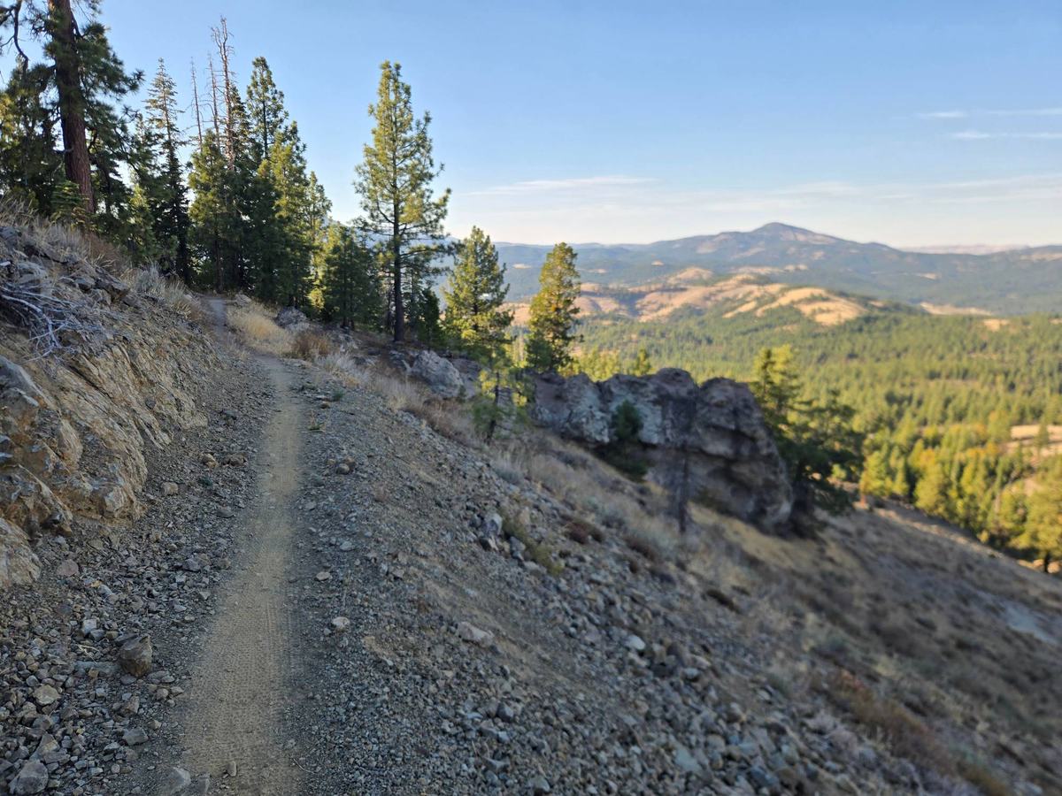
Narrow singletrack across a rocky, pine-dotted slope on the Beckwourth Peak Trail with forested ridges and a distant peak beyond
Big views as the trail loops the mountain.

Beckwourth Peak Trail Map

14.9 miles from Portola City Park, with 1,843 feet of climbing. Tap the map to explore, or send the route to your GPS.

The Route

Start by riding into the city park and hopping on the trail just above the pump track. The singletrack takes you around the ball fields and into the woods, then crosses a dirt road. The long climb up the mountain starts on the other side of that road.
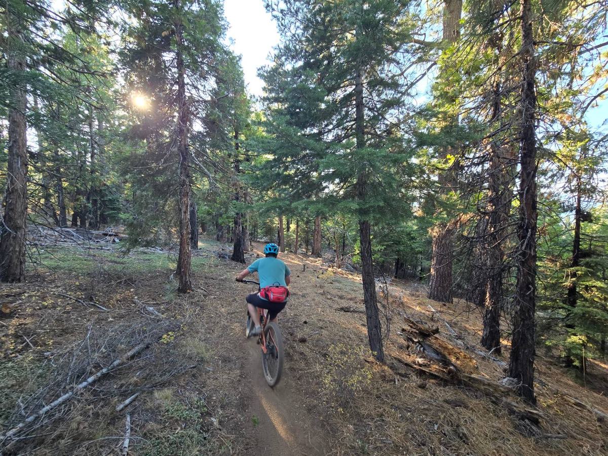
Mountain biker riding singletrack through a sunlit pine forest on the Beckwourth Peak Trail
Shady singletrack through the pines.
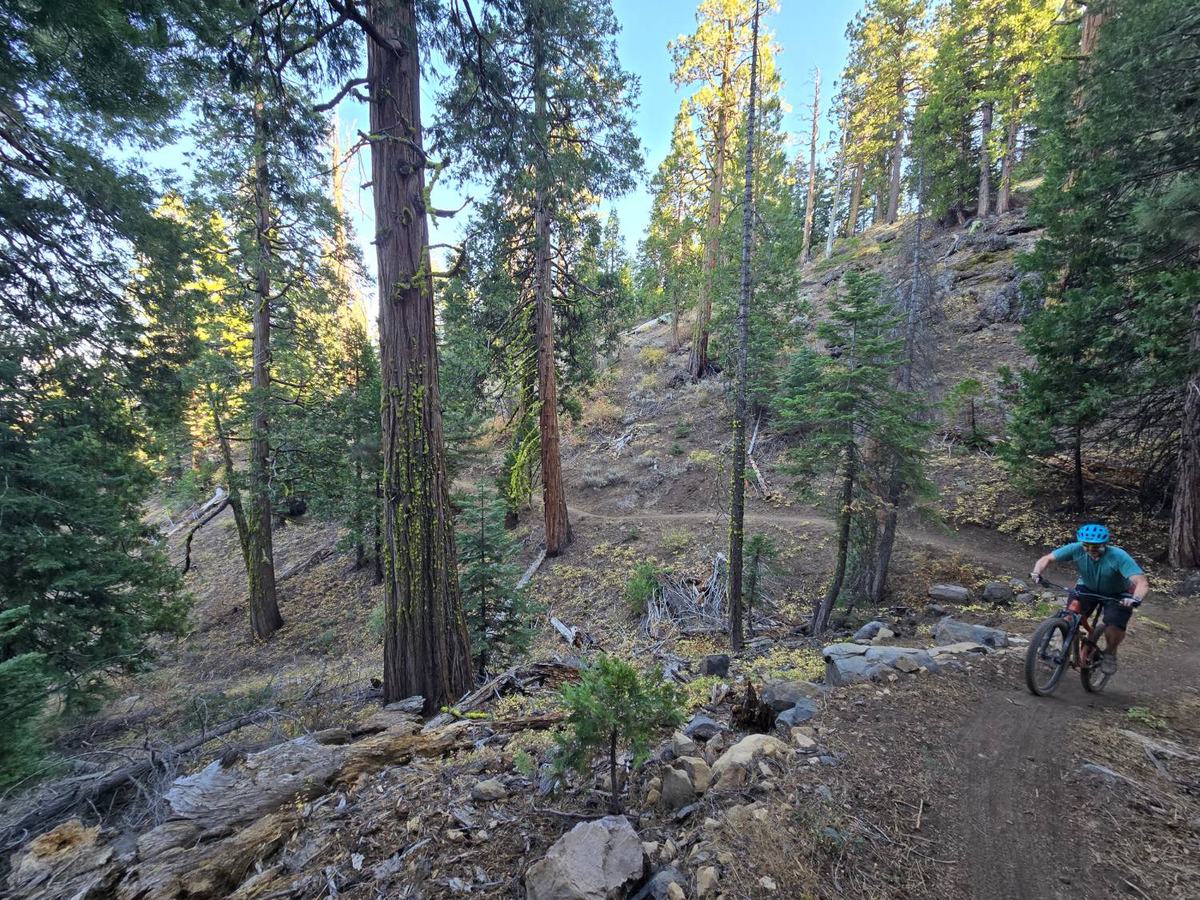
Mountain biker climbing a switchback through tall cedars and pines on the Beckwourth Peak Trail
Switchbacks keep the climbing reasonable.

The climb runs about 7 miles. There are some short, punchy pitches, but overall the trail is well designed, with switchbacks that keep the grade reasonable. Around mile 7 you'll reach the trail's signature feature: a rock tunnel you ride straight through.
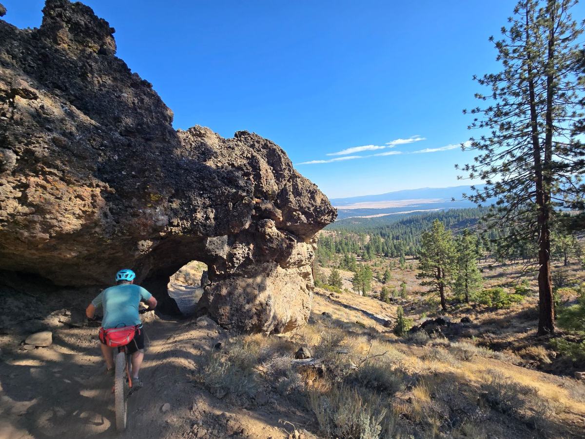
Mountain biker riding toward the rock tunnel on the Beckwourth Peak Trail, with the Sierra Valley in the distance
The rock tunnel, about 7 miles in.

The loop around the peak is best ridden counter-clockwise. On the north side of the mountain, as you get close to finishing the loop (around mile 10), there's a short rock garden. It's rideable, but novice riders will walk it. Fortunately, it's very short.

From there, enjoy the downhill back to town. It's a two-way trail, so check your speed and watch for riders climbing on your way down.
Why Ride It

  • ▲ Big views of the Sierra Valley and the peaks and ridges of the Lost Sierra
  • ▲ A well-designed mountain bike trail, built by the Sierra Buttes Trail Stewardship
  • ▲ Very light trail traffic
  • ▲ A steady, reasonably graded climb with a fun descent back to town as the payoff
  • ▲ A rock tunnel you ride straight through, about 7 miles in
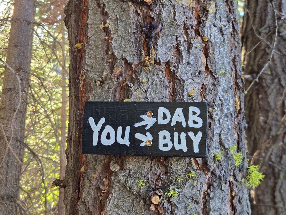
Hand-painted sign on a pine tree along the Beckwourth Peak Trail that reads: You, arrow, dab, arrow, buy
Challenge your friends to clean the rock garden.

Trailhead & Parking

The trailhead is at Portola City Park (Third Avenue and South Gulling Avenue). There's plenty of parking right in front of the park, with a bathroom and drinking fountain nearby.

The best place for a post-ride beer is just around the corner at Box Car Taphouse.

When to Go

The best months to ride are March through June, and then September and October. July and August are good too, but bring extra water, start in the morning, and get the climbing done before the temperatures rise into the upper 80s.
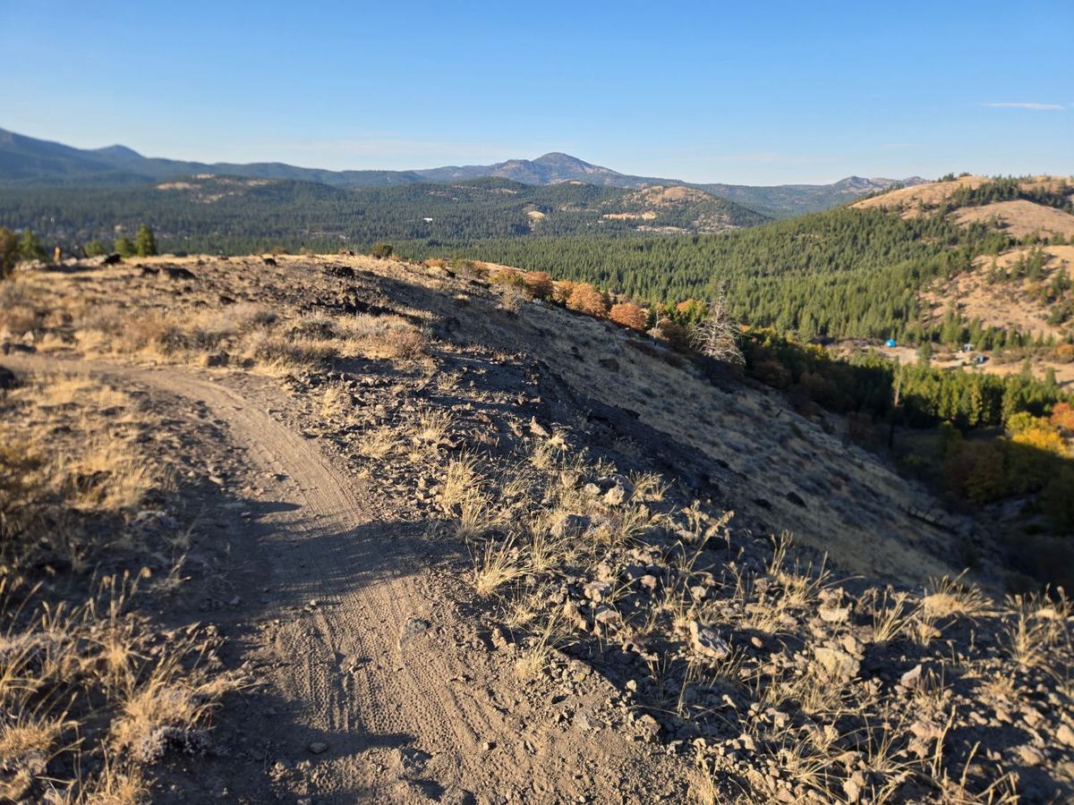
View from the Beckwourth Peak Trail looking down at Beckwourth Peak High Camp, with fall color and forested mountains beyond
Looking down at High Camp from the Beckwourth Peak Trail. Can you see the blue yurt?

Who Was Beckwourth?

The mountain is named after James Beckwourth, an African American explorer, born into slavery, who scouted and created a wagon route across the Sierra. Long before that, the Mountain Maidu lived in this area for over 3,000 years.

Stay Next to the Trail

Ride From Your Cabin

Beckwourth Peak High Camp is an off-grid glamping property right next to the Beckwourth Peak Trail. Ride straight from your cabin or yurt to the trail, then come back to a hot shower and big, dark night skies.

Choose from the North Cabin, South Cabin, The Yurt, or the Campsite, or book the whole property for your crew. Open May through October.

Book Your Stay

Beckwourth Peak Trail FAQ

How long is the Beckwourth Peak Trail? +
Our Ride with GPS route from Portola City Park is 14.9 miles with 1,843 feet of climbing, including about 1.4 miles of pavement. The City of Portola describes the trail itself as a 13-mile lollipop loop.
Where do I park for the Beckwourth Peak Trail? +
Park in front of Portola City Park (Third Avenue and South Gulling Avenue). There is plenty of parking, plus a bathroom and drinking fountain nearby.
Is the Beckwourth Peak Trail good for beginners? +
Yes, if you have a decent level of fitness. It is a non-technical cross-country trail, mostly green with some blue sections, but there is plenty of climbing. Near the end of the loop there is a short rock garden that novice riders will want to walk.
Which direction should I ride the loop? +
Counter-clockwise is best. The trail is two-way, so check your speed and watch for riders climbing on your way back down to town.
When is the best time to ride or hike it? +
March through June and September through October. July and August work too: start in the morning, bring extra water, and finish the climbing before temperatures reach the upper 80s.
Is it Beckwourth Peak or Beckworth Peak? +
Beckwourth, after James Beckwourth, the explorer who scouted a wagon route across the Sierra. You will often see it spelled "Beckworth" too.
Where can I stay near the Beckwourth Peak Trail? +
Beckwourth Peak High Camp is an off-grid glamping property right next to the trail, open May through October. Guests can ride straight from their cabin or yurt to the trail.

More Resources

At a Glance

Start
Portola City Park
Format
Lollipop loop, counter-clockwise
Distance
14.9 mi
Climbing
1,843 ft
Main climb
7 mi at about 4%
Traffic
Light, two-way

Questions?

Ask us about trail conditions before you go.

[email protected]
Book Your Stay