Routes at High Camp
Lost Sierra • Portola, CA

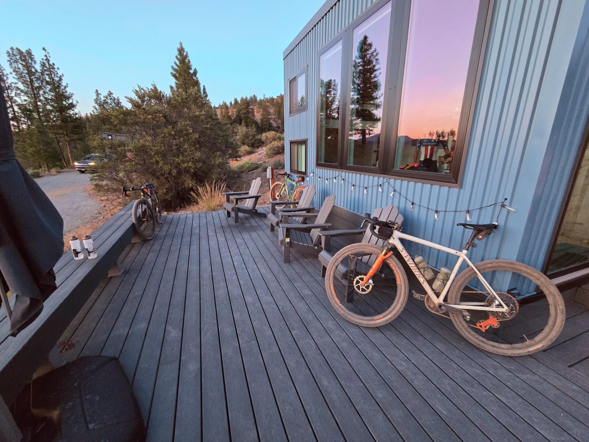

High Camp sits at the intersection of some of the best gravel roads in the Lost Sierra. Quiet forest roads, open ranch land, and very little traffic make this one of the most underrated gravel destinations in Northern California.
High Camp is also a base camp for the Lost and Found Gravel Festival, with sections of the race route passing through the property and the surrounding roads.
All Routes
Distance
53.6 mi
Elevation
4,234 ft
Surface
Mixed Gravel & Pavement
A big day out from High Camp. This loop winds through the quiet forest roads of the Lost Sierra to Lake Davis and back, mixing gravel with stretches of light-traffic highway. At 53 miles and 4,200 feet of climbing, it's a proper effort -- save something for the return.
View on Ride with GPSDistance
50.3 mi
Elevation
5,133 ft
Surface
Mixed Gravel & Pavement
A harder variation on the Lake Davis loop that adds the climb to Smith Peak. Slightly shorter in distance but with an extra 900 feet of gain -- this is the route when you want to make the day count.
View on Ride with GPSDistance
65.6 mi
Elevation
6,737 ft
Surface
Mixed Gravel & Pavement
The biggest loop in the collection. This route takes in Smith Peak, the mill town of Sloat, and Graeagle in a long day through some of the most scenic terrain in the Lost Sierra. Over 6,700 feet of climbing -- plan accordingly.
View on Ride with GPSDistance
55.6 mi
Elevation
5,540 ft
Surface
Mixed Gravel & Pavement
A loop that combines the climb to Mills Peak with a run past Gold Lake in the Lakes Basin. Big views, varied terrain, and a satisfying amount of climbing make this one of the standout routes from High Camp.
View on Ride with GPS