Trails at High Camp
Lost Sierra • Portola, CA
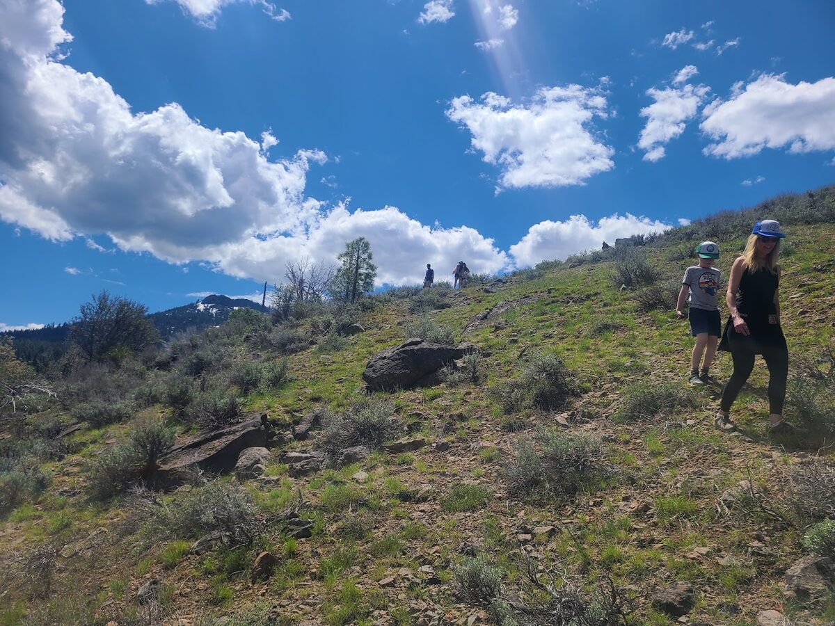
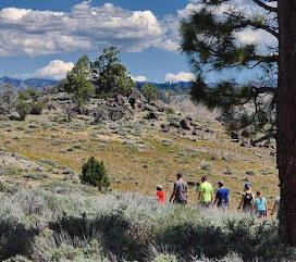
A new singletrack trail built by the Sierra Buttes Trail Stewardship, leaving directly from High Camp. The trail climbs through open terrain with sweeping views of the Lost Sierra. A loop completion is planned for 2025 -- check the RWGPS link for the latest route.
Format
Out-and-Back
Surface
Singletrack
The full summit hike for fit hikers. The lower section follows the Beckwourth Peak Trail before joining a dirt service road to the top. Bring plenty of water -- there's none on the route. The views from the summit are worth every step.
Time
4–5 hrs round trip
Surface
Trail & Dirt Road
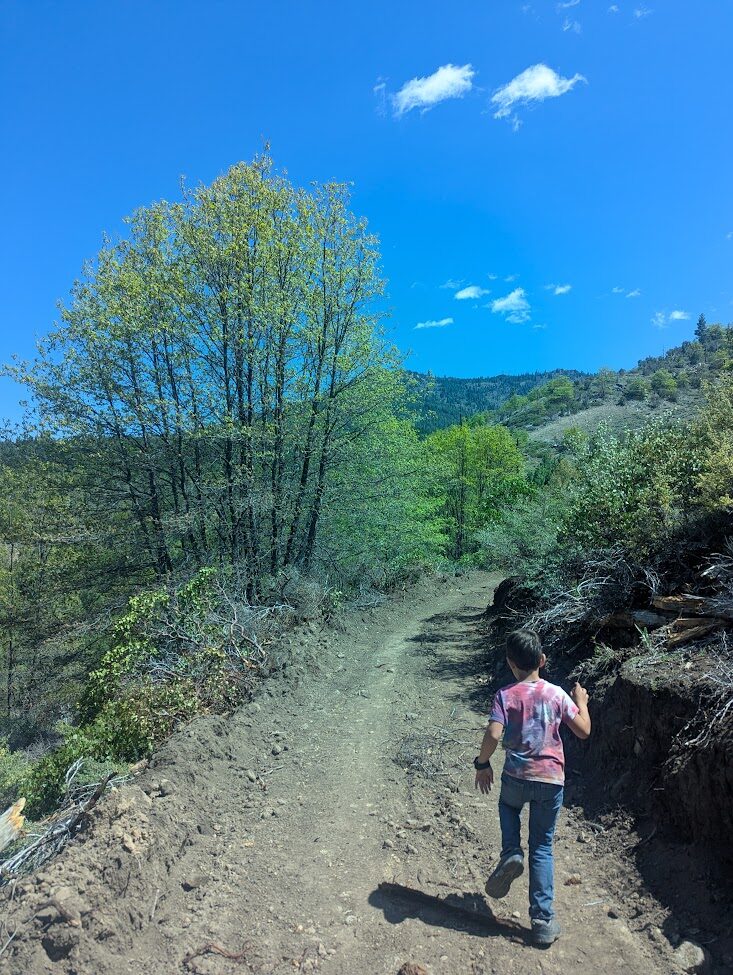
A short, accessible hike to a year-round waterfall in Plumas National Forest. The trail follows Little Jamison Creek and stays manageable for most fitness levels. An optional extension continues to Grass Lake for those who want more.
Distance
2 mi round trip
Surface
Dirt Trail
Hike or bike to an active fire lookout at 7,340 feet with sweeping views of Mohawk Valley, Beckwourth Peak, Sierra Valley, Sierra Buttes, and Mt. Lassen on a clear day. A great one for adventurous guests.
Distance
7 mi
Surface
Singletrack
The longest trail close to High Camp. Secluded, quiet, and worth the effort. A good option for guests looking to earn their views without the crowds.
Distance
8.5 mi
Elevation Gain
1,814 ft
A popular trail right in town, good in almost any season. A quick option for guests who want solid views without a long drive or serious climb.
Format
Out-and-Back
Surface
Dirt Trail
One of the most dramatic hikes in the Sierra Nevada. The summit features a historic fire lookout with a steel staircase and sweeping views of Upper and Lower Sardine Lakes. Near Sierra City; plan for a half-day trip.
Distance
4.9 mi round trip
Elevation Gain
1,752 ft
The PCT passes through this stretch of the Sierra Nevada with stunning mountain views, crystal-clear lakes, and striking rock formations. Pick up the trail near Sierra City for a day section without committing to a thru-hike.
Access Point
Near Sierra City
Surface
Singletrack
A flat, paved trail that follows the river through downtown Portola. A good option for a casual morning walk or a post-ride stretch. The trail connects to the town's disc golf course as well.
Surface
Paved
Terrain
Flat
A scenic fire lookout accessible via Calpine Road. The lower portion is drivable; conditions vary by season and weather. Worth the trip for the views -- bring layers.
Access
Road & Trail
Note
Weather dependent
Trail Maps